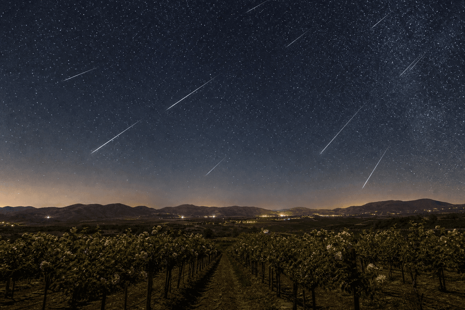
If you spent May huddled in a hoodie at 4 p.m. in Old Town wondering why your patio dinner plans felt like a coastal trip to Cambria, you weren't imagining it. Temecula's spring chill is a daily, mechanical event, a low-pressure vacuum over Palm Springs pulling Pacific air through a notch in the coastal mountains called the Rainbow Gap, on a clock that resets around 11 a.m. every morning from late winter through early June. May is past, the pattern is loosening, but the same plumbing reruns every year, locals who understand it stop complaining about May Gray and start planning around it.
The Rainbow Gap Is Doing This to You (Yes, Every Afternoon Around 11 a.m.)
The Temecula Valley sits only about 22 miles from the Pacific Ocean, with its long axis running west to east, straight at the coast. That orientation matters, because the coastal range between us and the ocean isn't a continuous wall. It's punctured by two low gaps: the principal Santa Margarita Gap, and the smaller but more famous Rainbow Gap, which sits between San Onofre Beach and Camp Pendleton.
Wilson Creek Winery has the cleanest plain-English explanation I've seen of what happens next. The Rainbow Gap functions as a windpipe connecting the ocean to the valley. Around 10 or 11 a.m. each day, hot air rising over Palm Springs creates a pressure vacuum on the desert side of the inland mountains. That vacuum has to be filled by something, and the path of least resistance is cold Pacific marine air, drawn more than 30 miles inland through the gap and into Temecula Valley. By 1 p.m., your patio umbrella is auditioning for flight school.
This is not weather in the dramatic sense, no front rolling through, no storm system. It's plumbing. Sun heats the desert, desert air rises, ocean air fills the gap, valley gets windy. Repeat tomorrow. The NWS San Diego coastal waters forecast from June 5 showed exactly this setup in motion: a 1028 mb high about 900 nautical miles west of San Francisco paired with a 999 mb low parked over Las Vegas and Death Valley, generating onshore flow straight into Southern California. That 29-millibar pressure difference is the engine. The Rainbow Gap is the carburetor.
What makes the spring version of this so unpleasant is timing. In July, that incoming air is mild and the temperature differential between ocean and desert smooths out by late afternoon. In May, the Pacific is still cold, the desert is already hot, and the pressure gradient is at its annual maximum just when you most want to be outside. The opinion I'll commit to: if you bought a house here expecting calm spring evenings, nobody told you how the valley actually works. The same gap that ventilates our vineyards ventilates your barbecue.
May Is Statistically the Worst Month for This, Here's the Data
This isn't anecdotal grousing. May is measurably the windiest month of Temecula's year. The historical average wind speed in May is 10.5 mph, compared to September's calm 8.7 mph, a roughly 20% difference that's easy to feel on a patio. May also carries the year's highest relative humidity, sitting at 63–65% versus November's 45%. Cold, damp, breezy. Three for three on patio-killers.
Temperatures track the same pattern. May's average range runs from a 75°F high to a 52°F low, which one regional weather summary describes as "mildly cool and breezy." The 2026 numbers held the line. AccuWeather's monthly tracker for Temecula showed daily highs ranging from 69° to 81° and overnight lows between 44° and 59°, with a monthly average high of 76° and low of 54°. That's not a weird year. That's the trendline.
The cloud cover piece is the part most people forget. May and June are the two cloudiest months of the year in coastal Southern California, averaging only 59% and 58% sunny days respectively in San Diego. We're not San Diego, but we're close enough, and the marine layer doesn't read jurisdictional maps. Combine peak wind, peak humidity, peak overcast, and a 23-degree daily temperature swing, and you've described every May afternoon in Temecula for the last decade.
The opinion: anyone surprised by this hasn't been paying attention to the calendar. May has been doing this since long before any of us got here. The Luiseño name for the area, Temeekunga, translates literally as "place of the sun", Spanish settlers later rendered it poetically as "where the sun breaks through the mist," itself a reference to the marine-layer mornings we now blame on climate change. The mist was here first.
May Gray and June Gloom Reach Us, We're Not Too Far Inland to Escape It
There's a stubborn belief among newer residents that the marine layer stops somewhere around Fallbrook and we sit on the warm side of it. That belief is wrong, and the meteorology is unambiguous. Overnight inland penetration of the Southern California marine layer regularly extends 70 to 80 miles from the coast, and on strong days it pushes as far inland as Palmdale, spilling over the coastal ranges. Temecula sits well inside that envelope.
The mechanism: a temperature inversion forms over the cold Pacific surface waters, with a layer of cool, moist air trapped beneath a "lid" of warmer air aloft. Low-pressure systems generate steady southeast or northeast winds that carry that dense, damp marine layer onshore, and the inversion lid keeps it from mixing out. The clouds can persist for days. The marine layer itself can be as shallow as a hundred feet or as deep as 5,000 feet. When it's deep, it doesn't care that you're 22 miles inland.
The temperature consequence is what stings. Marine layer events can drop temperatures 10 to 20 degrees below areas just a few miles inland of the cloud edge. That's why a May afternoon in Temecula can sit at 68° while Hemet, 25 minutes east, on the dry side of the inversion, runs 84°. Same county, different climate.
The morning timing is also predictable. Marine layer clouds typically form overnight and dissipate by late morning, which is why locals know the sun won't really commit until 11 a.m., and during heavy gloom seasons, the overcast can persist all day. If you're planning a morning hike on the Santa Rosa Plateau or an early tee time at any of the courses worked into living in Temecula, check the satellite first. The clouds clear on their own schedule.

The Mountains Around Us Make Nights Even Colder
The marine layer is only half the cooling story. The other half is geometry. Temecula Valley sits at roughly 1,500 feet above sea level, ringed by mountains that climb from 2,000 feet up to nearly 11,000 feet. The valley is a bowl, and bowls fill up with cold air at night.
The physics is gravity-simple. Air cools at high elevation faster than at the valley floor, cold air is denser than warm air, and dense things slide downhill. After sundown, heavy cold air collecting between the high peaks drains down into the valley like water, joining cool air already being channeled along the Santa Margarita River corridor. Two streams of cold air, one bowl. The Temecula Valley AVA literature calls it a "double cooling effect," and it's the reason your patio thermometer can read 47° at 6 a.m. after an 80° afternoon.
This is the same effect that makes Temecula Valley wine country produce Syrah and Mourvèdre worth drinking. Wide diurnal swings, hot days for sugar development, cold nights to preserve acid, are the textbook recipe for balanced wine grapes. The vineyards planted on the benchlands at 1,200 to 1,600 feet are sitting in exactly the right slice of that thermal gradient. Your discomfort is the grapes' good fortune.
Now That May Is Over, What's Next Through Summer (And When to Stop Complaining)
The good news is the calendar already bailed us out. The Old Farmer's Almanac long-range outlook for November 2025 through October 2026 called for a hotter, drier summer with below-normal rainfall and the hottest stretches landing in early and late June. April and May were forecast to run warmer than normal, and broadly, they did. Now that May is in the rearview, the Pacific catches up with the desert, the pressure differential softens, and the daily Rainbow Gap pull weakens into a manageable afternoon breeze rather than a wind-tunnel event. By July the daytime wind drops off entirely on most days.
The wind pattern doesn't disappear, though. It changes direction and origin. Once summer takes hold, the advisories to watch for shift from coastal marine inflow to mountain-pass downslope events. NWS San Diego's area forecast discussions routinely call out gusty west winds with widespread gusts of 30–40 knots and isolated gusts to 65 knots through the regional passes, with Wind Advisories specifically for the Riverside County Mountains and the San Gorgonio Pass near Banning. Those events hit the foothills and the high desert harder than the valley floor, but they reach us.
The shoulder-season events are a different animal. A March 7, 2026 NWS wind advisory warned of strong northeast winds, Santa Ana–direction, with the strongest gusts along the foothills of the Riverside and San Diego County mountains. Those are the dry, warm, dangerous winds. The May winds are the cold, damp, annoying ones. Knowing which is which is resident-grade knowledge.
The committed opinion: if you hated May, June through September is your window for everything outdoor. Wine country lunches, late dinners at the Pechanga Resort patios, vineyard concerts, they all work better once the Pacific catches up with the desert. Plan the rooftop birthdays for August, not May. Plant tomatoes after Mother's Day, not before. And accept that the Rainbow Gap is a feature of the address, not a bug.
Background: The valley's name itself is the tell. Temeekunga, the Luiseño name meaning "place of the sun," which Spanish settlers later rendered poetically as "where the sun breaks through the mist", predates every weather app on your phone by several centuries. The Luiseño were describing the same 11 a.m. burn-off you're checking radar for this morning. If you're new here and trying to decide whether to plant a citrus tree in the front yard or sign up for a May 18 winery wedding, the answer is encoded in the place name: morning mist, afternoon wind, cold nights, great grapes. The next NWS San Diego forecast discussion drops at the standard 3 a.m. and 3 p.m. cycle, that's the document to bookmark if you want to know whether tomorrow's patio plan survives.
Frequently Asked Questions
- Why is Temecula so windy in the afternoon?
- Around 10–11 a.m. each day, rising hot air over Palm Springs creates a low-pressure vacuum that pulls cool Pacific marine air more than 30 miles inland through the Rainbow Gap — a notch in the coastal range between San Onofre and Camp Pendleton. It's a daily pressure exchange, not random weather.
- Is May really the windiest month in Temecula?
- Yes. May's historical average wind speed is 10.5 mph, the highest of any month in Temecula. May also has the year's highest relative humidity at 63–65% and is statistically one of the cloudiest months in coastal Southern California.
- Does the marine layer actually reach Temecula?
- Regularly. Overnight inland penetration of the Southern California marine layer extends 70 to 80 miles from the coast, and Temecula sits roughly 22 miles inland. That's why mornings stay socked in until late morning even in the valley.
- Why does it get so cold at night in Temecula even after a hot day?
- The valley is ringed by mountains up to nearly 11,000 feet. At night, cold air drains downhill from those peaks and pools in the valley floor, joining cool air channeled from the Santa Margarita River. That's why a patio thermometer can drop into the 40s in May after an 80-degree afternoon.
- When does the windy, gloomy weather end?
- Typically by late June. The Old Farmer's Almanac long-range outlook for 2026 calls for a hotter, drier summer ahead. The wind pattern shifts from coastal marine inflow to mountain-pass downslope events — the advisories to watch then are for the Riverside County Mountains and San Gorgonio Pass, not the Rainbow Gap.
Sources
- National Weather Service – San Diego
- NWS San Diego Area Forecast Discussion
- NWS San Diego Marine Forecast (NOAA NDBC)
- Wilson Creek Winery – The Rainbow Gap
- Capstone California – Temecula Valley Terroir
- Wikipedia – Temecula, California (Luiseño name etymology)
- Temecula Valley AVA – Wikipedia
- June Gloom – Wikipedia
- Weather & Radar – May Gray Explained
- Surfline – June Gloom/May Gray
- AccuWeather – Temecula Monthly
- Old Farmer's Almanac – Temecula Long-Range
- Valley News – Wind Advisory Coverage (March 2026)
- Palumbo Wines – Terroir
- Visit Temecula Valley – Weather & Climate